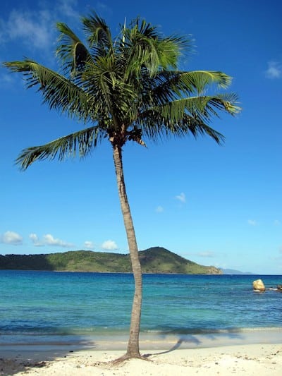

Welcome to the Virgin Islands
Book your luxury vacation rental today
Your Local Source for USVI and BVI Vacation Rentals
This Month's Featured Villas
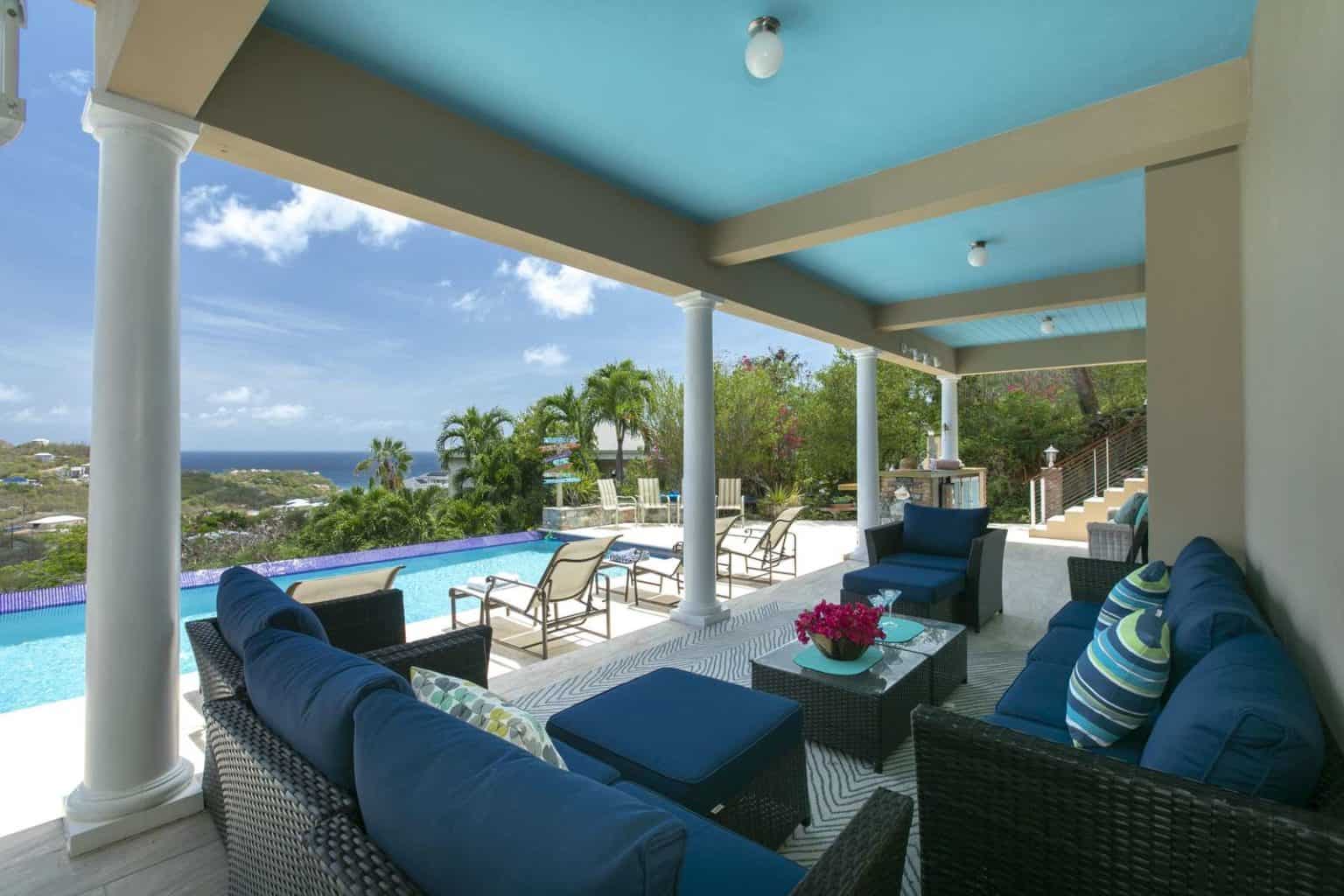
Grandeur Ask About Last Minute Availability!
Location: St. John, Virgin Islands
from $625 /nt
3
3.5
6
...
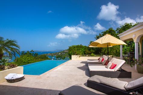
Tre Vista Estate 5 Night Stays Available in May
Location: St. John, Virgin Islands
from $1,100 /nt
5
5.5
10
...
Amazing Vacation Rentals in St. John, St. Thomas, and More
Whether you want to travel to St. Thomas, St. John in the US Virgin Islands or visit the British Virgin Islands, VacationVI will help you find the perfect vacation home or villa for your stay. Explore properties on St. Thomas and St. John in the United States Virgin Islands as well as Tortola and Virgin Gorda in the British Virgin Islands, to offer one of the most comprehensive offerings of Virgin Island vacation rentals. We offer full service concierge including provisioning, in home chef and meal preparation, day sail and boating, water sports and entertainment booking, private VIP transport, and more! From the time we first speak with our clients, to the time they get back home, our goal is to be hands on, ensuring that every need is met in first class fashion. We realize that your vacation is an important investment and that memories made with your family are priceless. Our staff stands at the ready, to make your Virgin Islands vacation dream come true.
Our Services

Full-Service Concierge
Our professional staff are trained to assist you and equipped to fill you in on all of the ins and outs of island life, in addition to provide you with quality services such as fresh food delivery, airport pick up, and boat excursions.
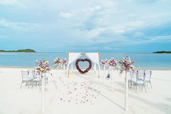
Events & Weddings
Plan your event or wedding with VacationVI. Our staff offers assistance with travel plans, lodging accommodations, venues, catering options, transportation, photography/videography, and additional planning needs.
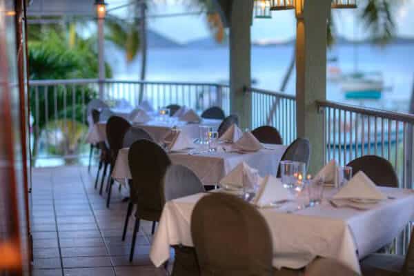
Dining & Entertainment
There is a ton of entertainment in St. Thomas and St. John and we want you to be able to enjoy everything that you have time to do! Contact us for more on-island information.
Guest Reviews
USVI and BVI Vacation Rentals FAQ:
It’s normal that you might have a lot of questions to ask about taking your next vacation in the US Virgin Islands or the British Virgin Islands! Below we’ve selected and answered a few of the most common holiday questions.
The Hills St John is the perfect choice for a very luxurious villa vacation. Nestled into the hillside above the bustling and eclectic harbor town of Cruz Bay, The Hills is located on the beautiful island of St John.
If you are a U.S. citizen and want to visit the U.S. Virgin Islands, a passport is not required, but it still serves as the best identification when traveling. Otherwise, you must be prepared to show evidence of citizenship when departing the islands, such as a raised-seal birth certificate and government-issued photo ID.
If you are not a U.S. citizen, then a passport issued by your country of origin is required.
If you plan to vacation in or visit the British Virgin Islands, a passport is required.